Hajime Sorayama
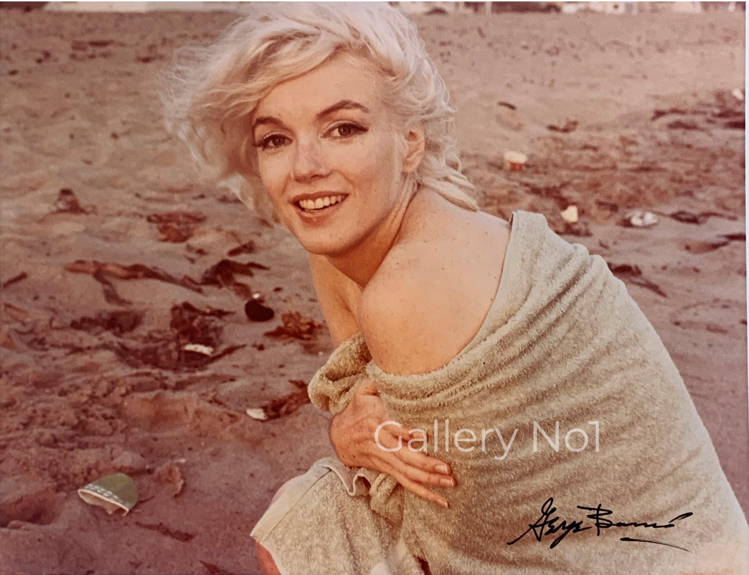
Gallery No1 is set to become the Number 1 online gallery for the sale of photographs, prints and photography books. Based in the UK, we aim to exhibit photographs and prints by some of the worlds leading photographers and artists, such as Bert Stern & George Barris with their great photographs of Marilyn Monroe, Nick Brandt with his amazing African wildlife photographs, including elephants, chimpanzees and lions. We also have a great selection of rare prints by Hajime Sorayama alongside works by both national and local photographers.